Get in touch
0333 050 0660
info@superdrone.biz

Eyes In The Sky: Drones For Search And Rescue Operations

James Foster • May 25, 2024

When disaster strikes and lives are on the line, time is of the essence.
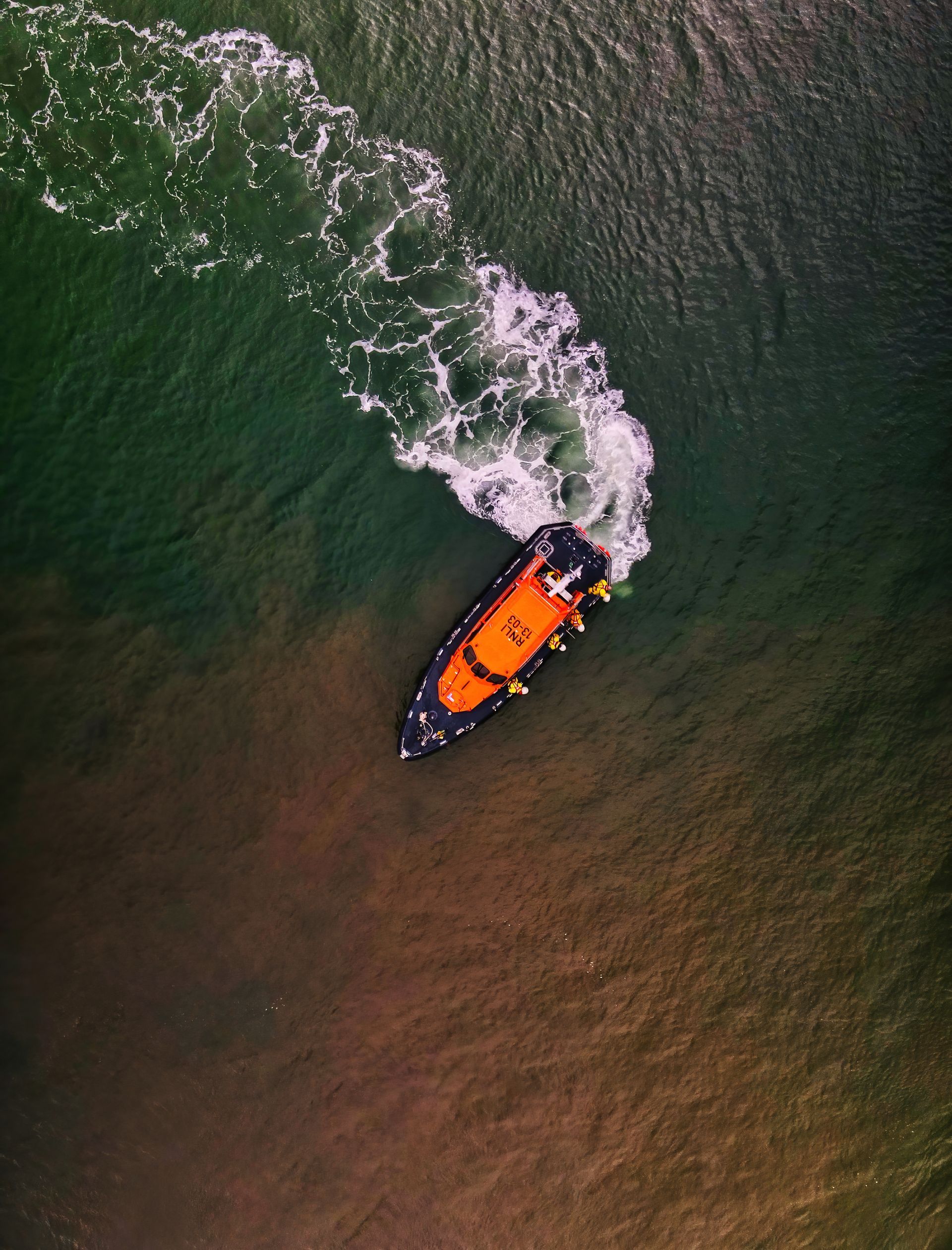
An aerial view of a rescue boat floating on top of a body of water.

When disaster strikes and lives are on the line, time is of the essence. Search and rescue operations are vital during emergencies, but challenging terrains and limited resources can impede efforts to locate and assist those in need. Drones have emerged as invaluable tools in search and rescue missions, providing a swift and efficient means of identifying and rescuing individuals in distress.


Equipped with thermal imaging cameras and high-resolution video cameras, search and rescue drones can cover extensive areas quickly, scanning for survivors and evaluating the situation from above. Thermal imaging is particularly critical in identifying body heat in locations where individuals might be trapped or lost, enabling rescuers to pinpoint their locations with precision.


Drones can access hard-to-reach or hazardous areas that would be dangerous for human rescuers, such as unstable structures or remote terrains. This reduces risks and enhances the safety of the overall operation. The real-time data and footage captured by drones guide ground teams in planning and executing their rescue strategies efficiently. In addition to immediate search and rescue, drones aid in damage assessment and disaster response planning. They provide crucial information about the extent of the disaster, enabling authorities to allocate resources effectively and prioritise areas that require immediate attention.


As drone technology continues to advance, we can expect even more specialised tools and features catering to search and rescue operations. Drones are not just revolutionising this field; they are saving lives, demonstrating the immense potential of technology to augment humanitarian efforts and improve disaster response on a global scale.


An aerial view of a winding road leading to the ocean.
By James Foster January 3, 2025
Sky-High Storytelling: How SuperDrone Elevates Travel Brands with Stunning Aerial Footage
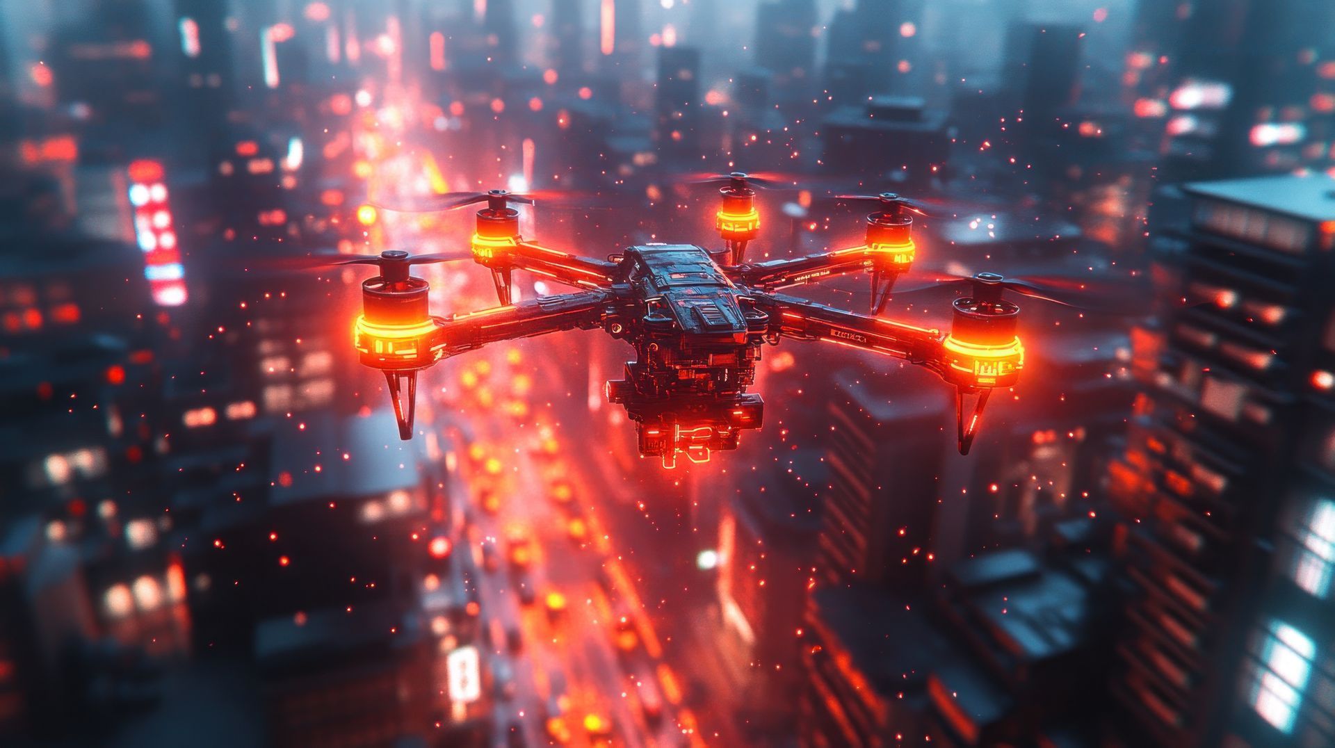
A drone is flying over a city at night.
By James Foster December 27, 2024
Elevating Narratives from Above: How SuperDrone’s Aerial Perspectives Transform Visual Storytelling for Deeper Audience Connection
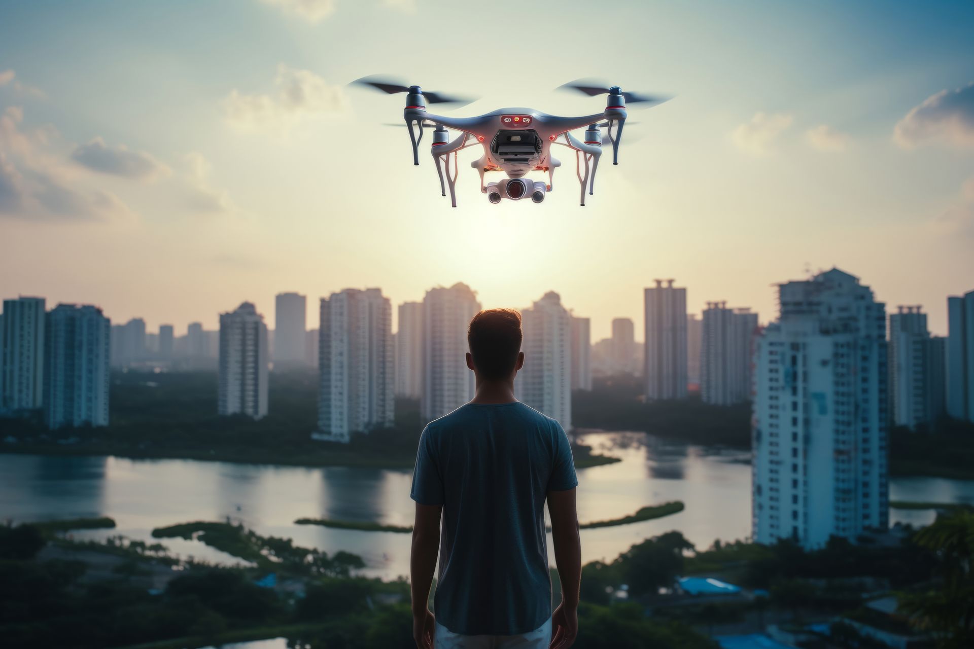
A man is looking at a drone flying over a city.
By James Foster December 20, 2024
Revolutionizing Visual Storytelling: How SuperDrone is Shaping the Future of Aerial Cinematography in Film and Media
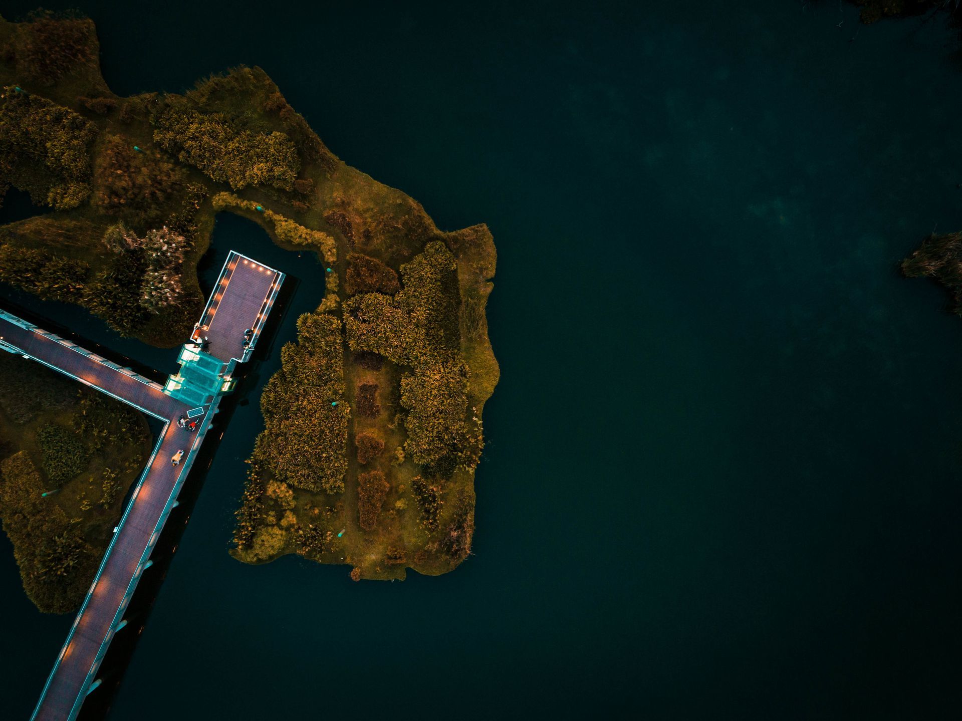
An aerial view of a bridge over a body of water.
By James Foster December 13, 2024
Elevating Tourism Marketing: How SuperDrone's Aerial Footage Captivates and Drives Travel Engagement
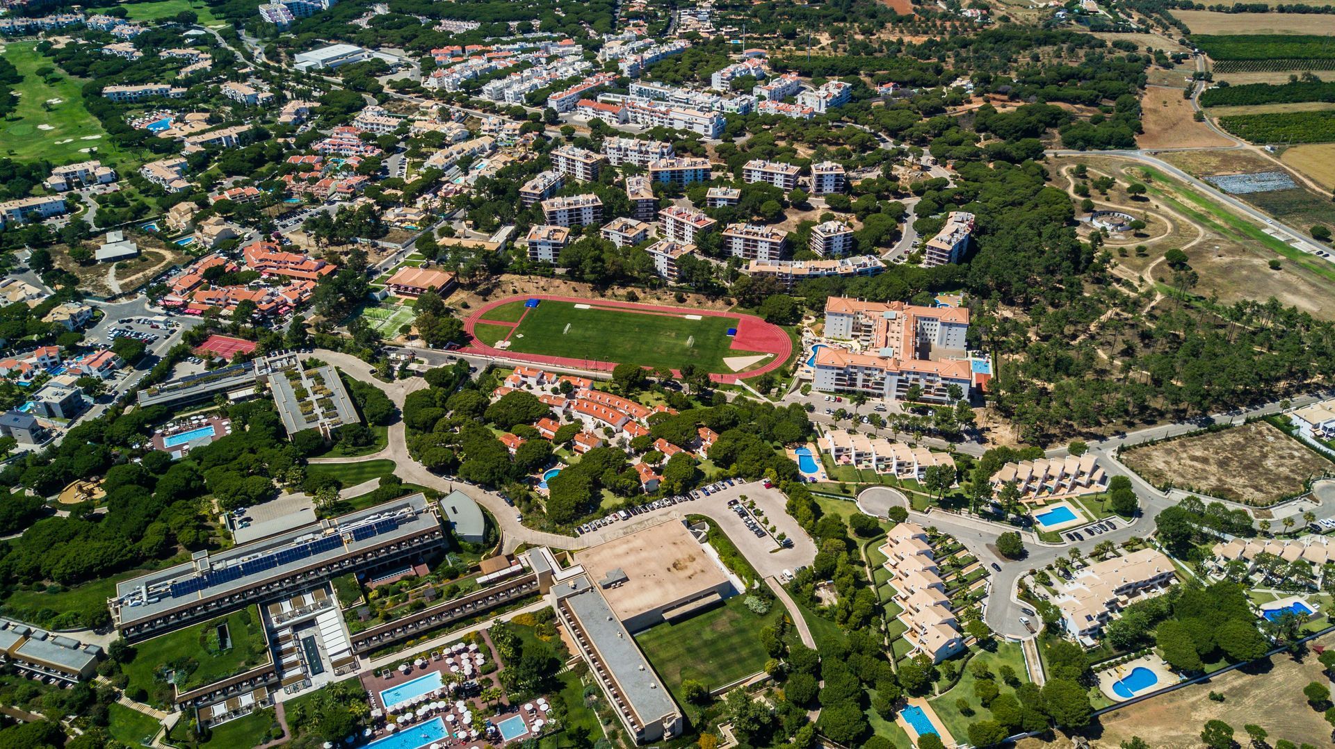
An aerial view of a city with lots of buildings
By James Foster December 6, 2024
Elevate Your Real Estate Marketing: Unlock the Power of Aerial Footage with SuperDrone
An aerial view of a city with lots of buildings
By James Foster November 29, 2024
Elevate Your Real Estate Marketing: Unlock the Power of Aerial Footage with SuperDrone
A person is holding a red and green ball in their hands.
By James Foster November 22, 2024
Elevating Green Initiatives: How SuperDrone’s Aerial Footage Transforms Sustainable Marketing Strategies
By James Foster November 15, 2024
Elevating Property Development and Construction Marketing with Cutting-Edge Aerial Footage: How SuperDrone Revolutionizes Visual Storytelling
A woman is taking a picture of a drone flying over a city.
By James Foster November 1, 2024
Bringing Your Vision to Life: How SuperDrone Transforms Creative Concepts into Stunning Aerial Realities
An aerial view of a crowd of people walking in a city at night.
By James Foster October 25, 2024
Revolutionising Event Marketing with SuperDrone: Capturing Scale, Energy, and Unforgettable Visuals from Above
More Posts
Share by: