SuperDrone’s Aerial Footage - Revolutionizing Property Development and Construction Marketing
Elevating Property Development and Construction Marketing with Cutting-Edge Aerial Footage: How SuperDrone Revolutionizes Visual Storytelling
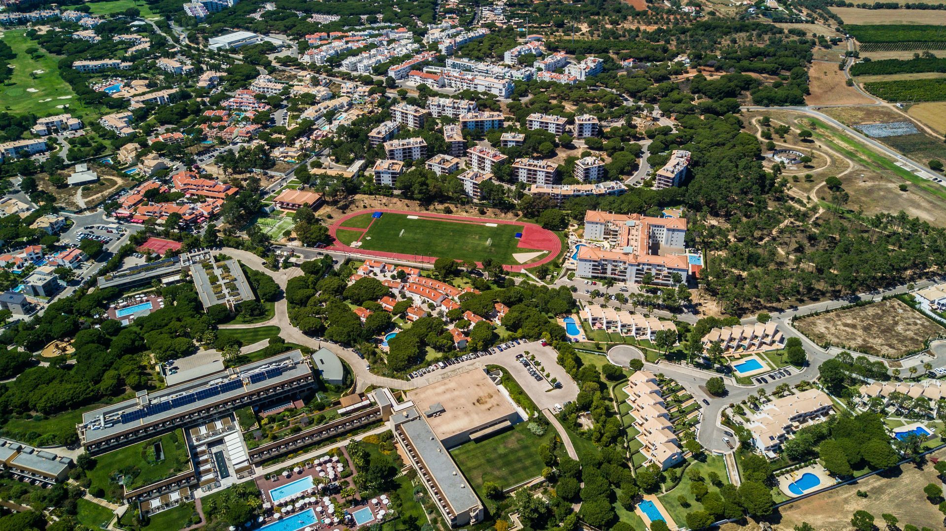
SuperDrone’s Aerial Footage - Revolutionizing Property Development and Construction Marketing
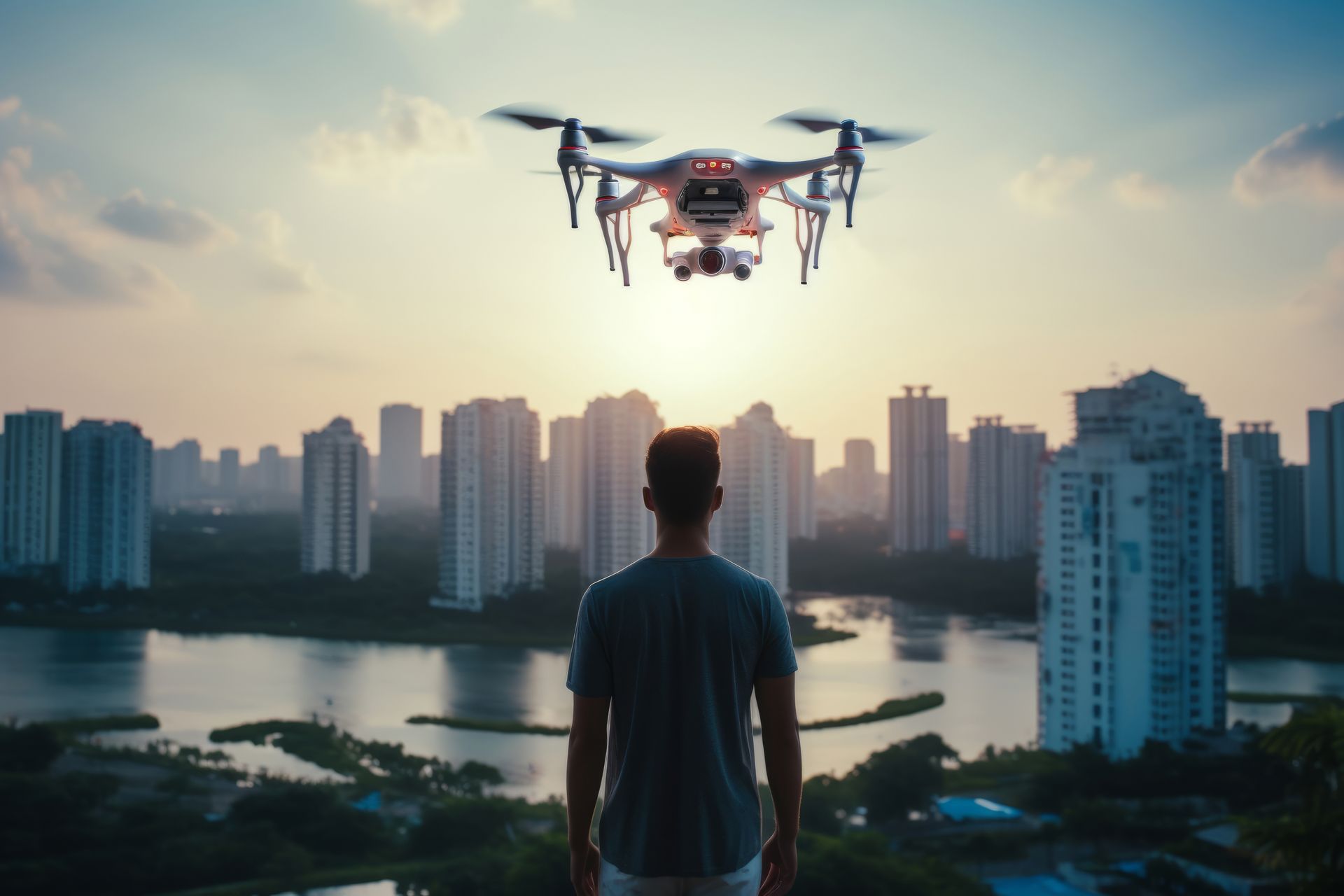
In the dynamic world of property development and construction, effective marketing is crucial, and visuals are at the heart of this effort. SuperDrone’s cutting-edge aerial footage is transforming how projects are presented, offering a sweeping view that captures the full scope and progress of development sites. Imagine providing potential buyers and investors with a bird’s eye view of your projects, showcasing the meticulous progress and the grand scale from conception to completion. By integrating drone technology into your visual marketing strategy, you not only enhance your site’s appeal but also position your brand as a leader in innovation. Embark on a journey to elevate your construction marketing with SuperDrone, where groundbreaking technology meets inspirational storytelling.
Transforming Property Development Marketing
Enhancing Visual Marketing
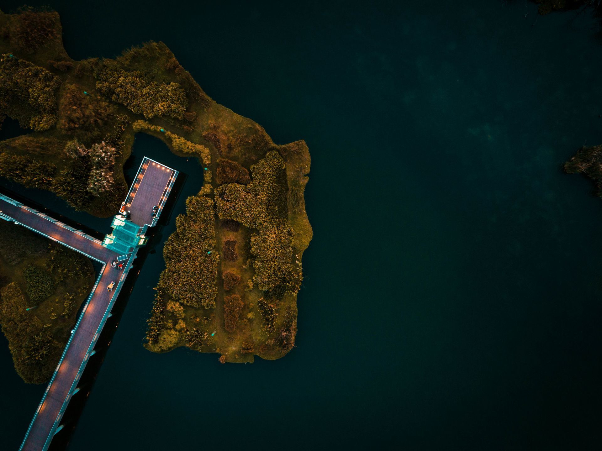
Incorporating SuperDrone's aerial footage into your visual marketing strategy offers a fresh perspective that captivates potential buyers and investors. Unlike traditional ground-level photography, aerial views provide a comprehensive understanding of the property’s layout, surroundings, and accessibility. This visual marketing technique allows developers to highlight unique aspects of a project, such as proximity to amenities or scenic landscapes, that might otherwise go unnoticed. By showcasing detailed site progress, stakeholders gain confidence in the project’s development, fostering trust and interest. Moreover, the cinematic quality of drone footage can elevate your brand’s image, positioning it as innovative and forward-thinking. As the real estate market becomes increasingly competitive, leveraging drone technology can make your marketing efforts stand out, ensuring that your developments receive the attention they deserve. Embrace this cutting-edge approach to breathe new life into your property development marketing initiatives.
Capturing Site Progress
Documenting site progress is an essential aspect of property development marketing. SuperDrone’s aerial footage offers a unique vantage point, allowing developers and marketers to meticulously track and showcase construction progress over time. This comprehensive view helps in highlighting different phases of development, from groundbreaking to completion. By regularly capturing aerial footage, you can create a visual timeline that illustrates the evolution of a project. This not only serves as an effective tool for engaging potential buyers and investors but also acts as a record for stakeholders to monitor construction efficiency and adherence to deadlines. Furthermore, this transparent approach builds trust, as it demonstrates commitment to quality and accountability. Utilizing drone technology for site progress documentation ensures accuracy and detail, which are crucial for informed decision-making. Embrace this innovative method to keep your clients and partners updated with reliable, high-quality visual content that speaks volumes about your project’s advancement.
Real Estate Photography Excellence
Achieving excellence in real estate photography is pivotal for effective marketing, and SuperDrone’s aerial technology sets a new standard. Traditional photography can sometimes fall short in capturing the grandeur and scope of large-scale developments. However, aerial photography offers a sweeping view that encompasses the full breadth of a property, including its surroundings and landscape features. By employing drones, developers can showcase properties in their entirety, providing potential buyers with a complete view of the estate’s allure. This approach helps highlight important aspects such as architectural design, environmental integration, and neighborhood context, which might be overlooked with standard ground-level shots. Furthermore, the high-quality imagery delivered by drones enhances the visual appeal and professionalism of marketing materials, making them more engaging and persuasive. Investing in drone-based real estate photography ensures that your marketing stands out in a crowded marketplace, appealing directly to the aspirational desires of your target audience.
Drone Technology in Construction
Advanced Imaging Techniques
The integration of advanced imaging techniques in drone technology is transforming the construction industry. Drones equipped with cutting-edge imaging capabilities, such as thermal imaging and 3D modeling, offer unparalleled insights into construction projects. Thermal imaging allows for the detection of heat loss, moisture intrusion, and electrical issues, enabling proactive maintenance and safety measures. Meanwhile, 3D modeling provides accurate, detailed representations of construction sites, facilitating precise planning and progress tracking. These advanced imaging techniques enhance project management by offering real-time data, ensuring that any potential issues are identified and addressed promptly. This level of detail and accuracy not only improves efficiency but also reduces costs associated with delays and rework. By adopting these technologies, construction companies can optimize their operations, ensuring that projects are completed on time and within budget. Embrace the future of construction with drone technology, which promises to elevate your project management to new heights of precision and effectiveness.
Mapping Capabilities and Insights
Drones have revolutionized mapping capabilities in construction, offering insights that were once difficult to obtain. Equipped with GPS and advanced sensors, drones can create highly accurate topographical maps and site surveys. These maps provide a detailed overview of the construction site, allowing for better planning and resource allocation. This capability is crucial for identifying potential challenges, such as uneven terrain or water drainage issues, before they impact the project timeline. Moreover, drones can perform these mapping tasks quickly, reducing the time and labor costs traditionally associated with land surveying. The insights gathered through drone mapping enable construction teams to make informed decisions, optimizing workflows and improving site safety. By integrating drone technology into your construction process, you gain a competitive edge through enhanced precision and efficiency. Embrace this innovative approach to improve project outcomes and drive successful property development initiatives.
Thermal Imaging and 3D Modelling
Thermal imaging and 3D modeling are transforming the landscape of construction projects with their precision and depth of insight. Thermal imaging, utilized through drones, allows construction teams to detect anomalies like insulation defects, structural weaknesses, or water leaks that aren't visible to the naked eye. This method ensures that potential issues are addressed swiftly, minimizing safety risks and preventing costly repairs. Coupled with 3D modeling, drones provide a comprehensive view of the construction site, capturing every detail with precision. 3D models offer a virtual walkthrough of the site, aiding in better planning and communication among stakeholders. These models help visualize the end result, facilitating adjustments before actual construction begins, thus saving time and resources. By leveraging these advanced technologies, construction firms can enhance project accuracy, improve quality assurance, and ensure that all phases of development are executed seamlessly. This innovation represents a significant leap forward in construction management and efficiency.
Find out more about SuperDrone below:
superdrone.biz - Elevate your storytelling with our aerial footage.
10 Marine Parade, Paignton, TQ3 2NU, United Kingdom
SUPERDRONE© 2020-2024 Superhub Ltd

